|
|
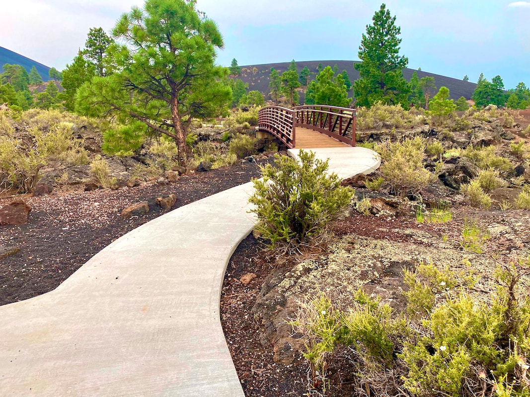
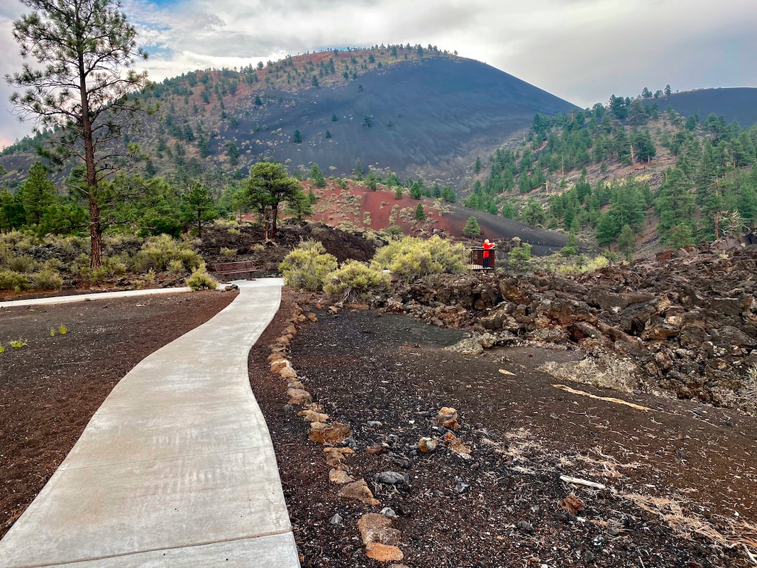
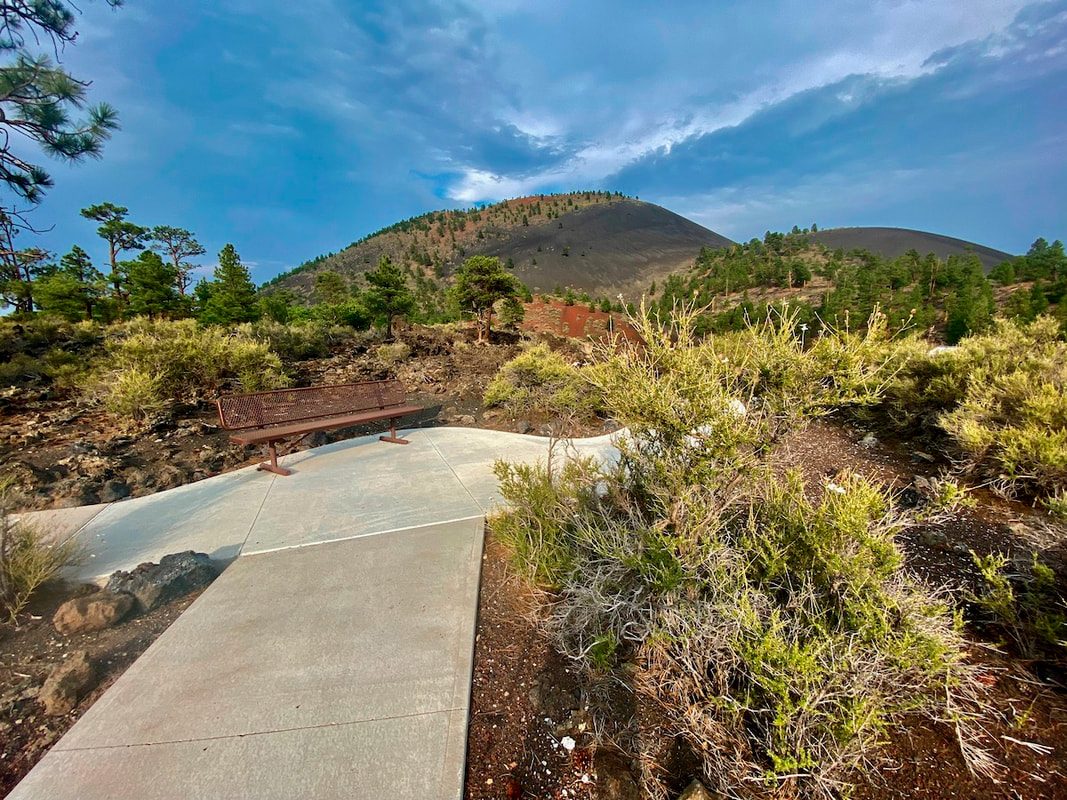
Upper Lava Flow Trail, Sunset Crater Volcano National Monument, Arizona
Length: 0.5 mi. Width: 4 feet Surface type: Concrete Typical grade: <5% Maximum grade: 7% Typical grade: 2% Typical cross slope: 1% Maximum cross slope: 2% Obstacles: None Use Fee required?: Yes Accessible features: Four accessible parking spots and vault toilets, flush toilets at the Visitor Center About 1,000 years ago a volcanic cinder cone erupted and spread ash and cinders over the surrounding land occupied by natives here and in the adjacent Wupatki National Monument. Today the 1,000 feet high Sunset Crater and associated basaltic lava flows are the center of the Sunset Crater Volcano National Monument. This very lightly-visited monument has rugged hiking trials through cinders and lava flows. It also has relatively short, but nicely paved “accessible” trails across the cinders to see the extreme rugged “aa” lava flows. There are two trails with the similar characteristics from the same parking lot, the shorter Bonito Vista Trail (733 ft.) and the Upper Lava Flow Loop (0.4 mi.). The upper Lava Flow Trail has natural surface offshoots that get closer to the base of the mountain but that have loose surface material, steps, and minimum width of less that 24 inches. There is no camping in the Monument but the US Forest Service’s Bonito Campground is right at the entrance of the Monument, across the road from the Visitor Center. |