|
|
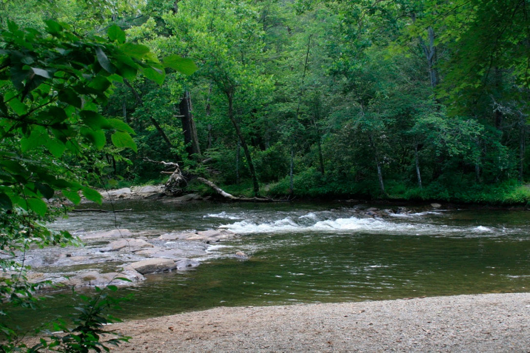
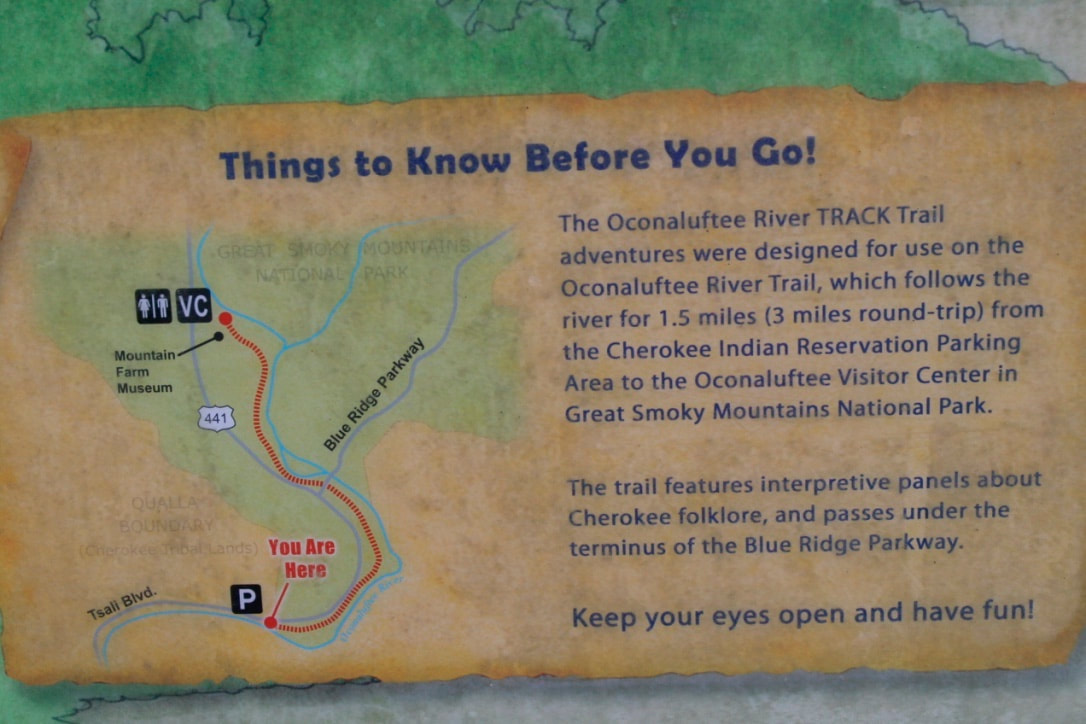
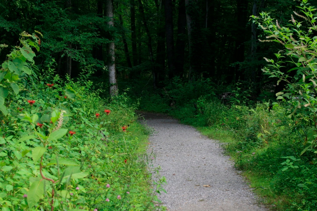
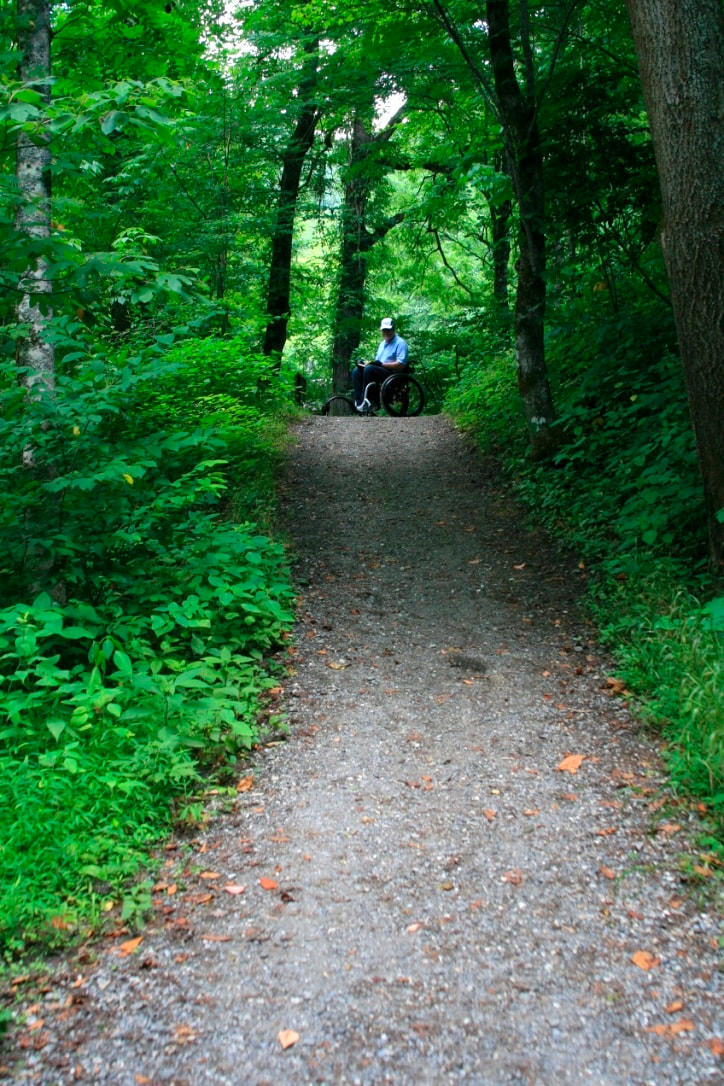
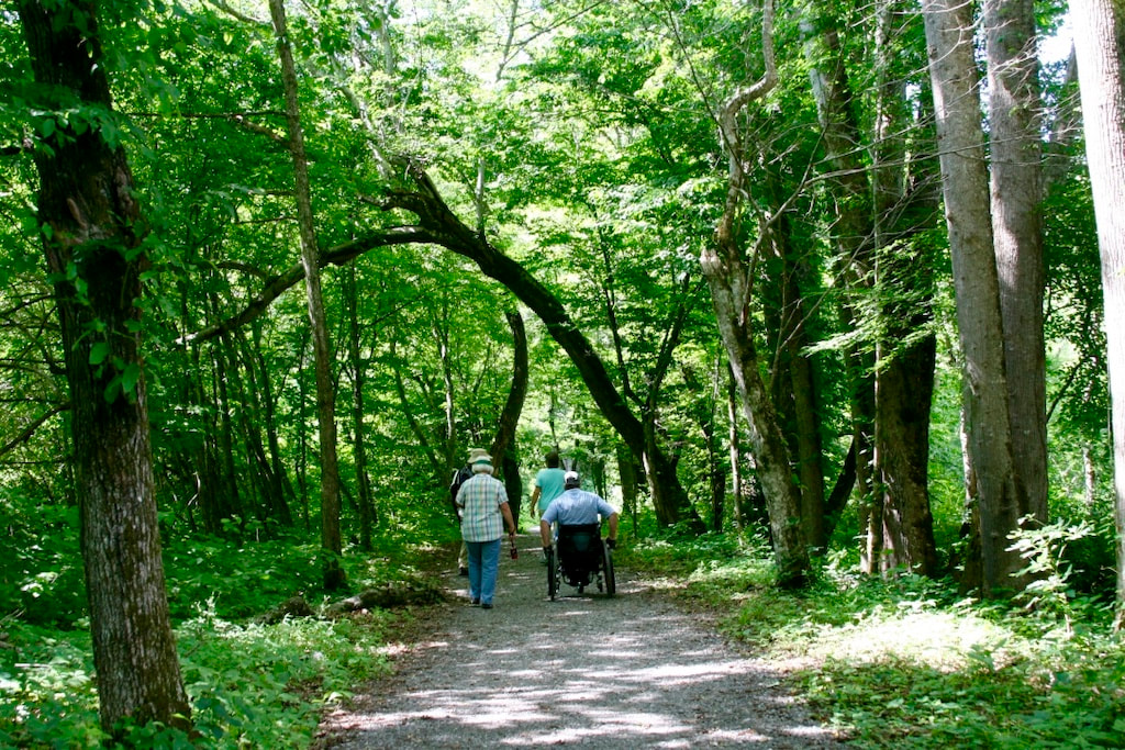
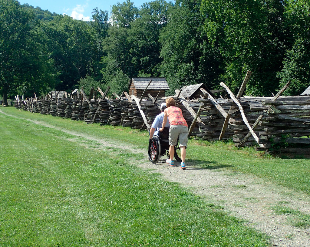
Oconaluftee River Trail, Great Smoky Mountains National Park, Cherokee, North Carolina Trail Characteristics: Type of trail Out and back or through Trail length ` 1.5 miles total. O.6 miles from Visitor Center to 21% Trail Surface Natural soil with pea-sized to> 1 in. gravel. Trail width 80 inches northern portion, 30 inches southern portion Typical running slope < 5% Maximum running slope 21% over 40-foot section Typical cross slope < 2% Maximum cross slope 11% over 10-foot segment Obstacles 1. Tree roots (up to 6 inches above surface) 2. Short segments of trail may be seasonally muddy 3. Segments of the trail have 1 inch+ size coarse rock The Oconaluftee River Trail is a beautiful, nearly flat hiking trail that runs 1.5 mile along the river between the Great Smoky Mountains National Park Oconaluftee Visitor Center, downstream to the town of Cherokee, North Carolina (3 miles round trip). The trail is sandwiched between the river and U.S. Highway 441. The trail passes through a reconstructed historic farmstead village at the Visitor Center and then follows the shore of the Oconaluftee River to the town of Cherokee, North Carolina. The author spotted elk and turkeys near the Visitor Center. Bicycles and leashed pets are also allowed. The trail is recognized as a Kids in Parks Track, a family-friendly outdoor adventure by http://www.kidsinparks.com with brochures of activities associated with the trail. However, the trail is not recognized as an “accessible” trails and its use by kids or adults with physical and/or intellectual disabilities and their families is limited. However, the author believes that this trail could fairly easily be made more inclusive with increased accessibility for those with disabilities. See the Fine Print |