|
|
River Mountains Loop Trail, Lake Mead National Recreation Area, Nevada
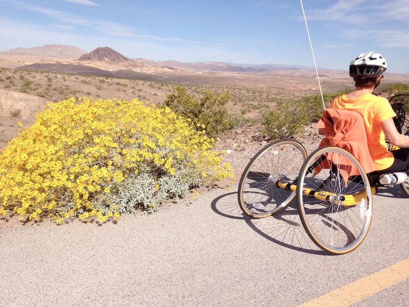
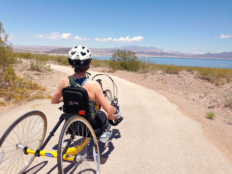
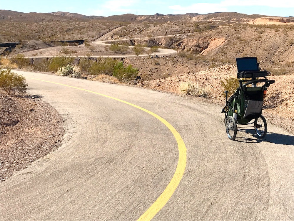
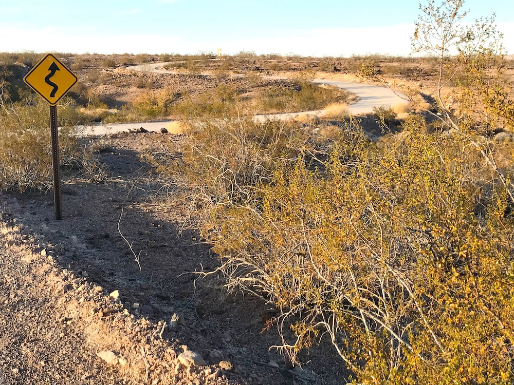
Length: 17 miles Width: 12 feet Surface type: Asphalt Typical grade: 3% Maximum grade: 13% Typical cross slope: 2% Maximum cross slope: 10% Obstacles: None Use Fee required?: No Accessible features: Vault toilets, parking The River Mountains Loop Trail is a 34-mile long paved bike path around the River Mountains that separate the Las Vegas valley from Lake Mead. The path travels through the jurisdictions of Lake Mead National Recreation Area, and the cities of Henderson and Boulder City, Nevada. This report is about the 17 miles of the trail that runs through Lake Mead NRA from the Lake Mead Parkway on the north in Henderson, to US-93 to the south in Boulder City. Here is a Map. On this trail you will encounter walkers, bicyclists, runners, and maybe, bighorn sheep. For our purposes, because there are long sections of hills and desert terrain, this trail is best utilized for short sections of adaptive hiking, or handcycles with gearing. The River Mountains Loop Trail within Lake Mead NRA has three sections with different character. From the trailhead on Lake Mead Parkway the trail winds through sweeping curves over and down hills with great views of the valley and distant mountains (6.8 miles). Part of this dry valley below is where Lake Mead used to be before it shrunk. The trail goes downhill until it goes under Lakeshore Drive. Typical grade here is 3% but there is over 1,000 feet from 7% to 10% with a 709 ft. elevation loss. Remember that coming back up! The section from the tunnel under Lakeshore Drive to the Historic Railroad trail (6.4 mi.) runs mostly parallel to Lakeshore Drive but skirts around an industrial-looking area. This is the water pumping station for all of the Las Vegas area. The grade is typically 3% but gets steeper approaching the Historic Railroad Trail parking lot on the southern end. The southern section of the River Mountains Loop Trail in Lake Mead NRA climbs (3.7 mi.) from the Historic Railroad Trail toward Boulder City. This section utilizes part of the old rail bed and climbs to the suburbs of Boulder City with an elevation gain of 532 ft. to Pacifica Way. And then it keeps climbing on up into Boulder City. Typical grade is again 3% but increases to a short section of 13% at a dry wash crossing. There are three trailheads, one on Lake Mead Parkway at the national park entrance, one at the Bible Visitor Center at the park entrance on Lakeshore Road, and one at Pacifica Way and US-93. The trailhead at the Visitor Center shares the parking lot with the Historic Railroad Trail. The three trailheads are all outside the fee area. This lot and the one at Lake Mead Parkway have vault (hold your nose) toilets with handrails. The one shared by the Historic Railroad Trail has had broken door latches for years. Trail assessed November 2018 Trail Access Project, funded by Federal Highway Administration See the Fine Print |
